 Danau Sentarum National Park (DSNP) covers an area of 127,393.40 hectares which has been determined through the Decree of the Minister of Forestry No. SK. 4815/Menhut-VII/KUH/2014 issued on 30 June 2014, after the demarcation of boundaries. This decree has replaced the previous status of the Danau Sentarum National Park area which covered 132,000 hectares based on the Decree of the Minister of Forestry and Plantations No. 34/Kpts-II/1999 dated February 4, 1999, when this area changed its status from a wildlife reserve to a National Park. DSNP is located in the floodplain of the upper Kapuas River in West Kalimantan, Indonesian Borneo.
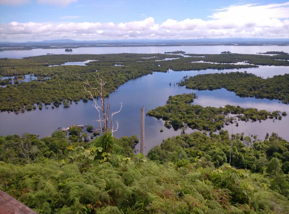
The Park lies between the Kapuas River and the border with Sarawak, and is located between 0°40'-0º55' N and 112º00'-112º25' E at an average elevation of 35 meters. DSNP consists of a series of interconnected seasonal lakes (danau), interspersed with swamp forest, peat swamp forest, and dry lowland forest on isolated hills. The area was first gazetted as a Wildlife Reserve (Suaka Margasatwa) in 1982 by ministerial decree No. 757/Kpts/Um/10/1982, when it extended over 80,000 hectares, with just under one third consisting of open water. Eventually, it was enlarged to 132,000 hectares to include extensive tracts of peat swamp forest, and several hill ranges with dry lowland- and heath forest, and in April 1994, Danau Sentarum was declared Indonesia's second Ramsar Wetland of International Importance, thus drawing international attention to this unique area.
 DSNP is a key conservation area on Borneo, supporting about 250 fish species (including 12-26 endemics), about 250 bird species, Borneo's largest inland population of proboscis monkey, one of the largest remaining populations of orangutan, possibly three crocodile species, and several dozen endemic plants. The lakes support a large traditional fishing industry, utilized by over 6,500 fisher folk inhabiting 39 villages in and adjacent the Park. Forests are heavily utilized as well, both for construction timber and for a wide variety of non-timber forest products. Exploitation levels appear to have been sustainable until about 2-3 decades ago; since then, however, the resource base appears to have been steadily eroding, with fish catches declining and forest area dwindling. The main reasons for this are complex, involving the influx of immigrants, increased non-adherence to local customary law, population increase, increased access to external markets, and a steady development of adjacent areas (e.g. by logging and plantation estate enterprises).
Annual rainfall in the Park fluctuates around 3,900 mm per year, while the surrounding hills and mountainous catchment area receive 4,500-6,000 mm per year. The upper Kapuas basin is very flat, and waters of the Kapuas River accumulate upstream of the natural 'bottleneck' near Semitau, just downstream of the Park. Because of high precipitation levels, most of the low-lying areas in the basin are flooded in the wetter months. Three-quarters of the lakes in the 6,500 square kilometer upper Kapuas basin are included within the Park. These lakes act as a buffer for the Kapuas River system, mitigating floods and buffering water levels in the dry season. According to a model developed by Klepper, one quarter of peak floods of the upper Kapuas River are siphoned off into DSNP's lakes and swamp forests, thereby significantly reducing flood damage downstream. During the dry season, up to 50 percent of upper Kapuas River waters may consist of water flowing from the lakes and swamp forests, thereby maintaining water levels and safeguarding downstream water supplies.
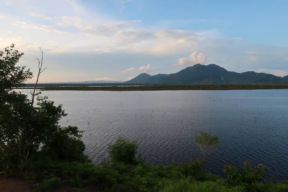
DSNP is dominated by a marked fluctuation in water levels of the lakes and streams, which may rise and fall up to 12 meters during an average year. During about nine months of the year the lake system is relatively full (average maximum depth 6.5 m), though levels may fluctuate substantially.
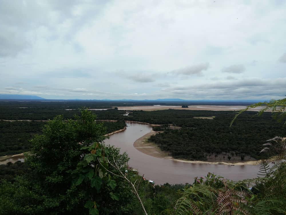
During the remainder of the year (usually late June-early September), waters usually retreat to the deepest channels and the lakes often dry out entirely. On average this occurs in about two out of every three years. Water enters the system via various streams and inlets, but the main out flowing stream is the Tawang River, which reverses its flow after peak floods. This annual cycle of rising and falling water levels dominates the ecosystem and exerts a strong influence on the lives of its people, plants and animals.
*Source: Giesen, W and J. Aglionby, "Introduction to Danau Sentarum National Park, West Kalimantan", Borneo Research Bulletin, Vol.30 (2000).


